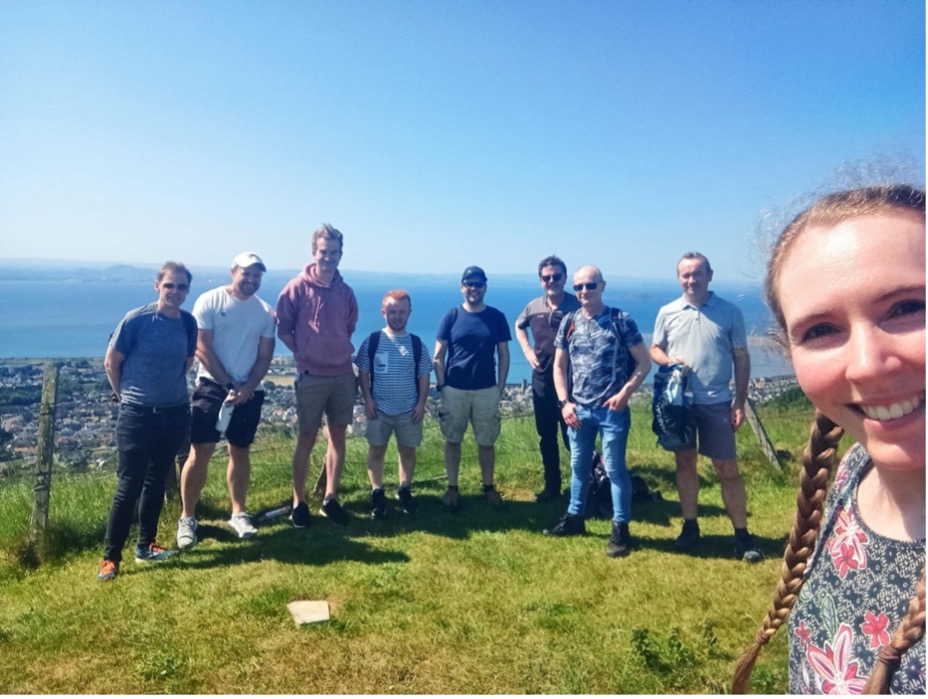
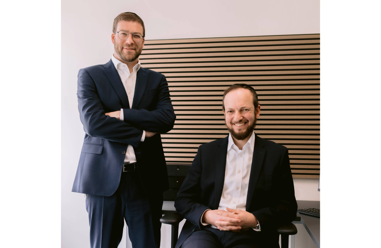
FarrPoint is an independent connectivity and smart technology consultancy that provides advice on regional connectivity, network infrastructure, 4G and 5G, smart places, IoT, TEC and enterprise IT. The team consists of consulting technologists, economists and data scientists who make sure that their work is grounded in well-defined business requirements and use cases.
FarrPoint’s Mobile Mapping Solution
The FarrPoint team is very excited to be shortlisted for an award in the Best Use of Data category for its Mobile Mapping Solution. FarrPoint’s innovative, cost-effective device, which provides real-life coverage data of all available mobile networks and has been used to map and improve mobile connectivity in both cities and rural areas across the UK and Canada.
The mobile coverage mapper is an autonomous network monitoring tool that provides coverage statistics of all available mobile networks. The solution comprises a small measuring unit with magnetic antennas that can be fitted into any vehicle or operated on foot with our backpack version. The unit measures the signal strength of all mobile networks simultaneously as it travels the route of interest. The unit sends the performance data back to our processing and mapping servers to enable a true picture of mobile network performance to be created. The measurement data is then presented on our online mapping portal that clients can access securely.
The solution provides independent coverage assurance and verification which is especially important for organisations running or planning mission-critical communications over mobile networks (emergency services, telecare). It offers significantly lower costs than standard drive test surveying, which requires specialised resources and equipment. The collected data is able to identify complete mobile ‘notspots’, partial notspots and areas of poor signal strength, which can be used by public bodies to understand then plan for improved network coverage (i.e. identify exact areas where a new mobile mast is needed).
The solution has already been deployed across a number of areas in the UK and internationally, providing the most accurate information on mobile connectivity. A few of our clients chose to deploy the mapper on their refuse vehicles, so coverage data is tracked at the same time as vehicles collect waste, making it a cost-effective and a more environmentally friendly solution. Other clients used a variety of methods, including trains and just walking on foot.
Watch FarrPoint’s video which for further details and see the mapper in action here.

Case Studies
In 2021 FarrPoint worked with Newcastle City Council to map out the region’s mobile phone “not spots”, driving more than 1,800 miles whilst measuring real-world 4G signal strength for the main four operators. This insight facilitated an informed, evidence-based discussion between the Council and the mobile network operators regarding current and future coverage plans. This helped the Council to make informed choices about which mobile operator provides the best coverage in areas of interest, enabling better mobile connectivity. Details here.
FarrPoint client Jenny Nelson, Head of Digital and ICT for Newcastle City Council, commented on the work FarrPoint completed within Newcastle and North Tyneside in 2021: “This exercise has given us the real experience of residents, businesses and visitors, which in some cases is different to the data published by networks, and with this street level detail we can look to work with mobile providers to improve coverage and hopefully rid our city of “not spots.”
In addition to paid client work we use our mapper to also produce bro-bono work – we mapped 4G black spots across the North Coast 500 route, helped a Highlands Mountain Rescue team to map signal coverage to help them with their rescue operations and also matched EV charging locations with our mapping data, to help the industry understand the importance of mobile connectivity for EVs.
The North Coast 500 map outlined the level of 4G coverage offered by the UK’s mobile network operators (EE, O2, Three and Vodafone) throughout the 516 miles of road. After surveying the length of the route which circles northern Scotland with its Coverage Mapping solution, FarrPoint identified more than 34 miles of road without 4G coverage from any provider. In addition, more than a quarter of the route is only covered by either one or two of the four mobile providers. FarrPoint has made an interactive version of the map available for use, and visitors are encouraged to look at what their operator’s coverage levels are in advance so they can make informed decisions before they travel.
The Awards
“Winning the UK Business Tech Awards would be a significant achievement for FarrPoint. It would signify recognition and appreciation for our innovative and exceptional application of technology. It would serve as a testament to our commitment to leveraging technology and data to improve connectivity across the UK and beyond. We hope that winning the award would also highlight the tangible benefits our Mobile Mapping solution and would encourage more companies to use real-world data in improve mobile coverage in their areas.”
“At FarrPoint, we believe the mobile mapping solution should win this award because it showcases a unique, innovative way of producing and using such important data and is very different from competitors. FarrPoint creates bespoke data for its clients, which is unbiased and based on real-life data collection. This form of advanced data collection uses sophisticated analysis algorithms, which seamlessly integrate with our client’s systems. FarrPoint prioritises usability, accessibility, and user satisfaction. The maps and data provided are all user-friendly – we believe that there’s no point producing data for just data sake. We want our clients to be able to make better data-driven decisions based on what we produce.”
The mobile mapping solution allows businesses and organisations to improve operational efficiency, cost savings, enhance decision-making capabilities, and streamline processes. Success stories and testimonials from FarrPoint’s satisfied customers provide evidence of the solution’s excellence. In addition, positive feedback and real-world examples of how the mobile mapping solution has addressed specific challenges, delivered value, and exceeded expectations can substantiate its award-worthy status.
FarrPoint feels very privileged to be nominated, and CEO Andrew Muir is looking forward to attending the awards.
If you would be interested in hearing more about the Mobile Mapping solution or our other services, visit farrpoint.com or email info@farrpoint.com.


